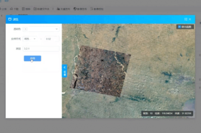
Multi-source, Massive Big Data - Real-time Publishing, Centralized Management, Flexible Application
Data Easy Spatiotemporal Data Platform - Cloud-native spatiotemporal big data full lifecycle management foundation platform
Spatiotemporal Digital Platform
Multi-source spatiotemporal data, easy and convenient full lifecycle management and application
For TB-PB level multi-source spatiotemporal big data, provides basic capabilities for data storage, management, publishing, services, applications, and development under B/S architecture, providing full-process automation and intelligent foundation for data resource sharing, data display, query statistics, and analysis applications
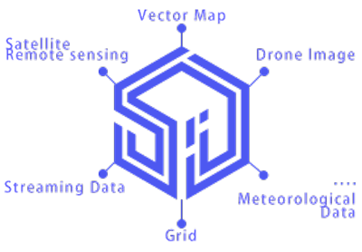
Automatic Acquisition & Production | Real-time Publishing Services | Efficient Centralized Management | Flexible Processing & Application
Remote Sensing Data Platform
Satellite Remote Sensing & Drone Image Data Management and Publishing Platform
Provides full lifecycle data capabilities for large-scale remote sensing image data (satellite/drone) including distributed storage, unified management, instant publishing, dynamic processing, and agile development, reducing data production cycle and process links by 90%, providing GB-level data from sky to ground in minutes, with PaaS-level platform services and SDK & API interfaces
Remote Sensing Application Platform
Convenient access to multi-source, massive satellite data, daily updates, search browsing and intelligent applications, access business spatial information and real-time intelligent spatial monitoring anytime, anywhere
Multi-source Integration | Massive Spatiotemporal | Comprehensive Management | Algorithm Integration
Weather Watch Platform
High-precision gridded weather real-time visualization and forecasting services covering the whole country, dynamic visualization of various meteorological spatiotemporal data such as wind fields, precipitation, temperature, and pressure, precise forecasting with world-advanced WRF algorithm model, real-time weather disaster early warning
Efficiently Manage Business with Spatiotemporal Intelligence
Data Easy Spatiotemporal Intelligence Platform: Solution-level organization business management & spatial monitoring
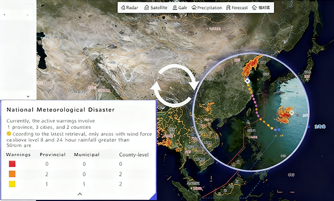
Smart Disaster Prevention System for organization
This solution enables dynamic weather visualization and natural disaster forecasting for sectors like insurance and emergency response. It tracks severe weather events (e.g., typhoons, rainstorms) using a global advanced WRF model to deliver ultra-fast, AI-powered early warnings — helping mitigate risks and minimize operational losses.
The system provides highly accurate, 10-day forecasts with granular resolution, supporting near-real-time and customizable alerts for wide-area farmlands, forests, infrastructure, and more.
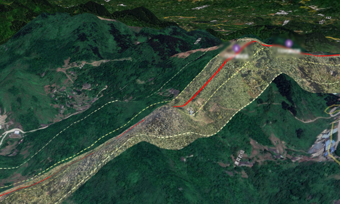
Intelligent Pipeline Guardian: Full-Coverage, High-Frequency Monitoring
Unified Geospatial View: Navigate a seamless 2D/3D model of hundreds of kilometers of pipelines from your desk: Enables managers to virtually access and inspect critical sites—from harsh deserts and alpine rivers to extreme polar zones.
AI-Powered Detection: Automatically and fast process drone & satellite data and pinpoint anomalies with intelligent change detection, within 10-minutes level geometric correction.
Closed-Loop Workflow: From detection to field repair and report upload, manage the entire operation in one platform.
Dramatically Increased Frequency: Shift from manual quarterly inspections to automated, bi-weekly or more frequent checks.
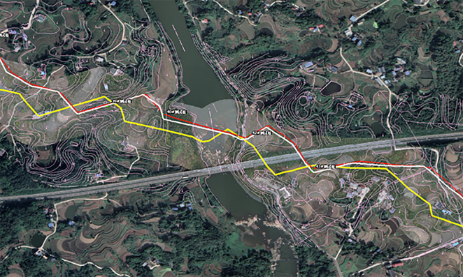
Rapidly Build a Unified Map of Resources & Analysis
This decision-support system for emergency response leverages multi-source spatiotemporal data. Enhanced by rapid processing and publishing of satellite and drone imagery, it delivers precise, real-time visual data of affected areas directly to rescue command centers. Using the Data Easy Spatiotemporal Index, the system dynamically integrates this imagery with multi-dimensional maps to quickly construct unified views for emergency facilities, resources, incident simulation, and command deployment—enabling coordinated, intelligent emergency management and support.
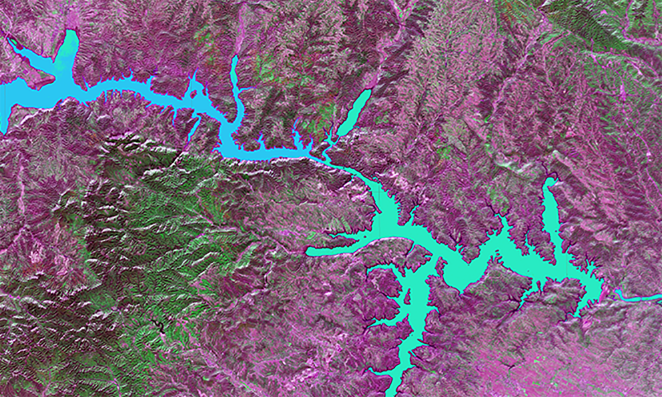
Real-Time Auto-Updates Intelligent Ecology & Environment
Powered by the Data Easy platform, this system integrates AI and multi-source satellite data to deliver real-time, actionable insights into ecosystem and water health. It continuously tracks water bodies through real-time dynamic computation based on satellite data and retrieval algorithms, generates dynamic quality maps, and supports timely pollution control — helping safeguard our planet through smarter, data-driven stewardship.
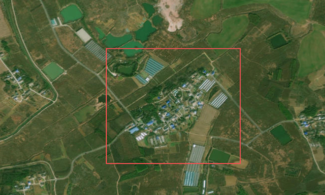
Satellite-to-Insight: Real-Time Automated Monitoring for Your Business Targets
We automate the entire process—from acquisition and processing of satellite and weather data to AI analysis and visualization—enabling real-time monitoring of assets and timely risk alerts. This helps organizations significantly reduce payout risks, while supporting high-efficiency investment decisions through up-to-date surface feature monitoring.
The Data Bedrock for Intelligent Transformation
High Performance, High Stability, High Elasticity — Improve Business Efficiency with Data Efficiency
-

Earth Observation
Empower your organization with a sovereign Earth Observation capability — centralize data acquisition, streamline processing, and share insights seamlessly across teams.
-

Insurance & Finance
Real-time satellite and weather data for policy sales, pricing, disaster reduction, verification, and loss assessment — reducing costs by hundreds of millions.
-
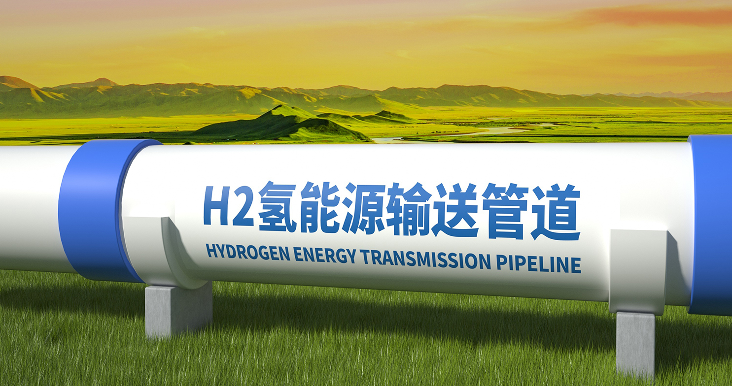
Energy Pipeline
AI-powered satellite and drone inspection for oil and gas pipelines — building a safe, intelligent operating environment for critical infrastructure.
-

Remote Sensing Data Science
Real-time processing-ready data interfaces — let researchers focus on algorithm exploration instead of data wrangling.
-

Ecology & Environment
Real-time automatic online data processing and analysis platform for water environment remote sensing monitoring.
-
Space Tech for Farming
Real-Time NDVI from Satellite & Drone Data — live vegetation insights powering precise agricultural decisions.