Data Easy Spatiotemporal Data Platform
Multi-source, Massive Big Data for Satellites, Drones, Maps, Weather, Water Conservancy, etc. One-stop Cloud Platform for Automated Production, Efficient Management, and Intelligent Application

Autonomous & Controllable
|

Microservices Architecture
|

Flexible Deployment
|

Elastic Growth
Foundation Platforms
Spatiotemporal Data Platform
Remote Sensing Data Platform
Geospatial Vector Data Platform
Streaming Data Platform
Analysis Data Platform
DataOps & Monitoring Platform
Foundation Applications
Remote Sensing Application Platform
Weather Watch Platform
AI Feature Detection
AI Change Monitoring
***
Key Advantages
Simplify Your Geospatial Journey
-

Streamlined Process
Automated Data Flow
A web-native platform for real-time ingestion and sharing of satellite, drone, and map data. Access, manage, and use data from anywhere — enabling smarter, faster decisions across your organization.
-

Intuitive Operation
Simplicity at Every Step
Automated ingestion, cloud centralized management of distributed data, smart search, dynamic processing, and flexible application — a human-centric experience upgrade for your entire workflow.
-

Effortless Application
Automated Business Monitoring
Access original imagery with one click, process it through real-time online workflows, and publish results instantly. Empower your team to collaboratively build and deploy automated spatial monitoring applications on a unified, cloud-based platform.
-

Reinforced Security
Secure Cloud Data
We deliver granular access controls for spatiotemporal big data cloud services. Through concurrency management, usage metering, security policies, and operational monitoring, we create a secure, reliable, and finely-managed cloud data environment.
Massive & Frequent Data
Leap in Performance
Multi-Source Data Support
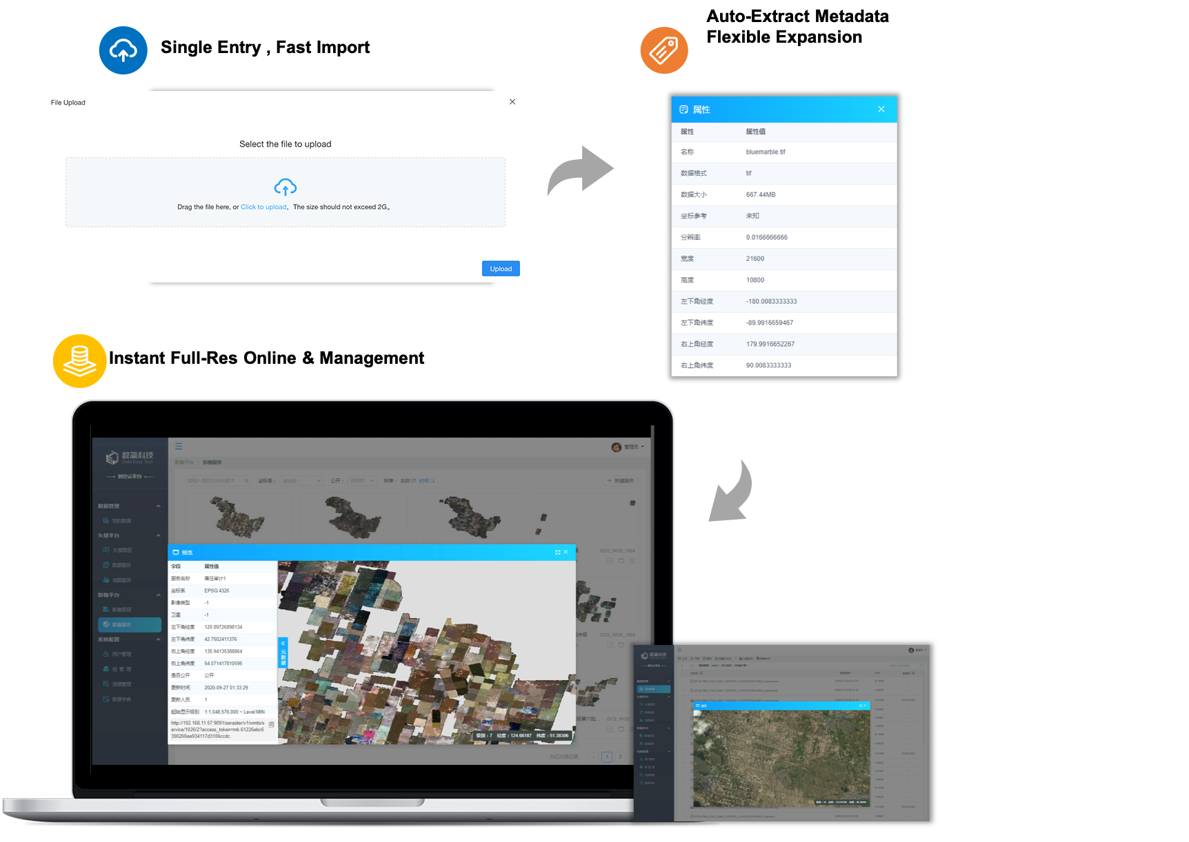
Platform automates processing of hundreds of spatial data types—satellite, drone, weather, maps, and text—with dynamic projection and coordinate conversion.
High-Performance Automation
PB-scale imagery without tiling, published in hours not weeks. Process updates every 15 minutes, correct GB-size data in 60 seconds.
Streamlined & Synergized
Once data is intelligently cataloged, it's instantly available for publishing, sharing, management, and application—all in one unified workflow.
Tame Complex Spatial Data: Unified Management
Flexible Publishing
Cloud Unified Data Hub
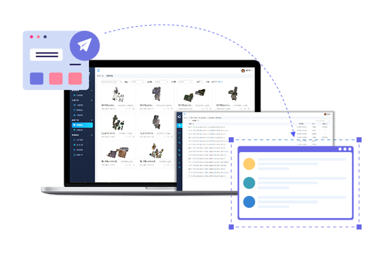
One interface to centralized manage all spatial assets across sources, devices, and stages—seamlessly preview, access, and explore imagery and maps.
Flexible Publishing
Multiple modes including instant, elevation, real‑time, and offline publishing—adapt to any service scenario.
One Data, Multiple Services
Easily create, edit, and update data services while publishing the same dataset into various OGC/WMTS standards in parallel.
Real-Time Data Online Processing & Intelligent Analysis
Smart at Core
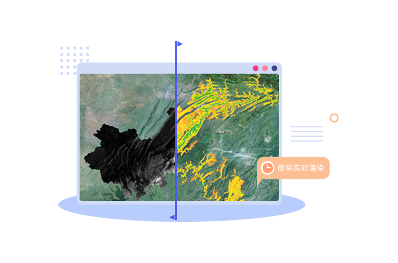
Access raw data in one click—no reprocessing needed. Connect directly to data sources with frontend super-resolution rendering for real-time visualization of computational results.
One-Click Publishing
Seamlessly integrate algorithm models and publish outputs instantly. Supports intelligent monitoring applications with minimal operational steps.
Interactive Spatiotemporal Search Intuitive & Powerful Spatial BI
Your Private Image-Based Earth
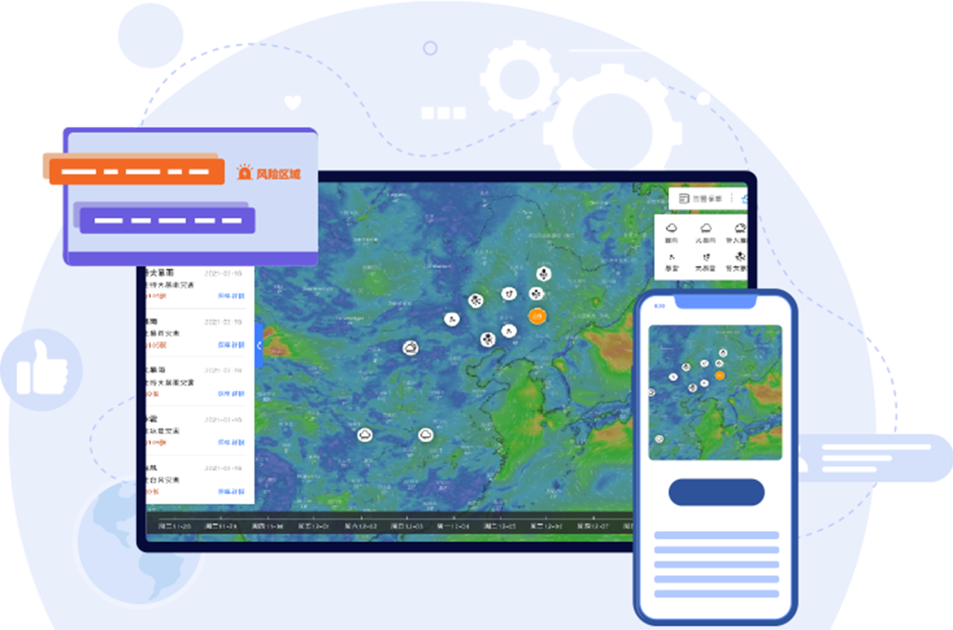
Build an organization-exclusive visual globe. Explore data through integrated spatial + temporal search modes, with full-resolution, multi-dimensional, multi-temporal browsing and analysis in real time.
Integrated Remote Sensing Applications
Self-service subscription, acquisition, and management of multi-source remote sensing data.
Precision Meteorology
High-resolution grid-based meteorological data visualization and forecasting.
AI-Enhanced Remote Sensing Services
Feature identification and change detection with up to 90% accuracy.
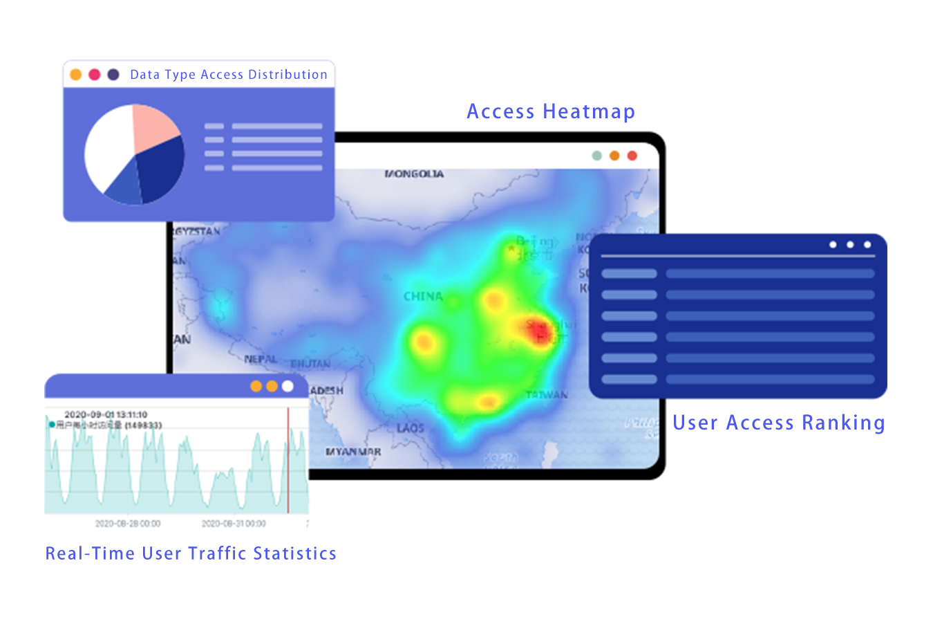
Metered Data Services & Enhanced Security
Usage Metering
Track user service consumption in real time with detailed traffic analytics.
Multi-Dimensional Access Controls
Granular policies for request limits, concurrency, geographic access, user tiers, and time-based validity.
Application Scenarios
Spatial Data Hub
Ecosystem Monitoring
Emergency Response
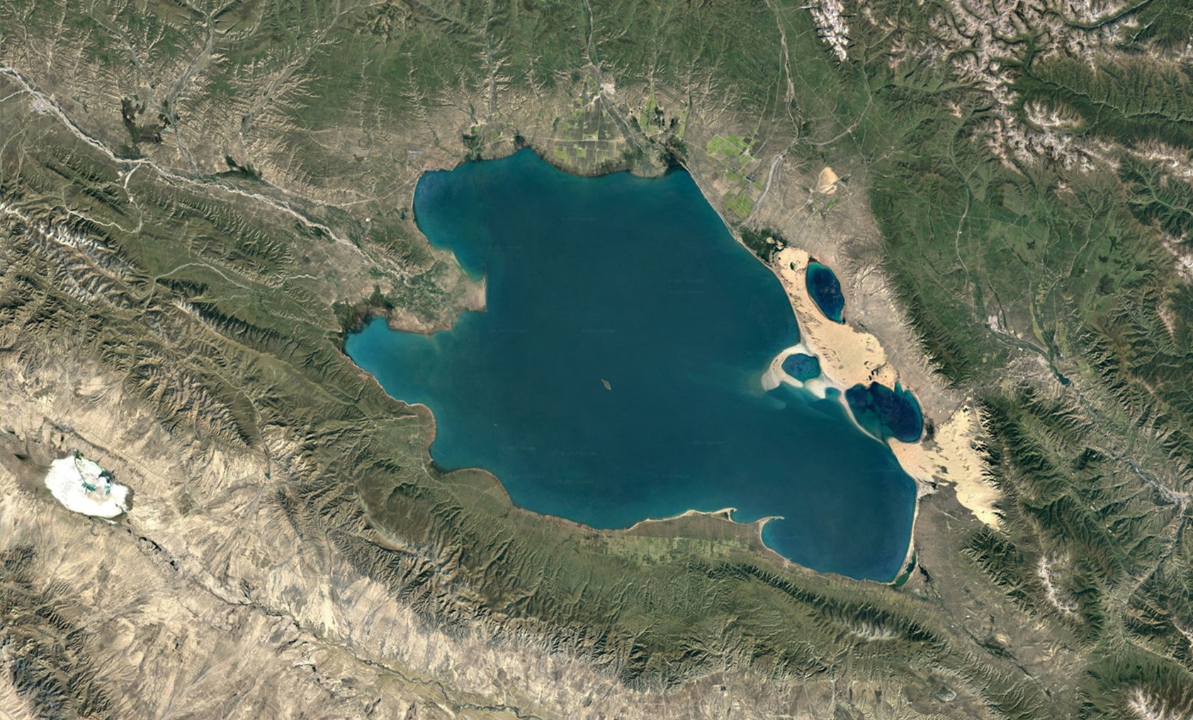
Remote sensing satellite companies, enterprise organizations and government agencies rely on multi-source, massive, and continuously updated spatial data for efficient publishing, management, and cross-departmental services. Data Easy platform automates data processing, significantly shortening data cycles and reducing labor and resource costs. It establishes a streamlined, efficiency service system—one centralized data hub meeting multi-tiered, multi-departmental needs across organizations.
- Intelligent Cataloging Automated metadata extraction, quality control, and database ingestion of over 2TB of imagery per hour.
- Automated Production Unattended data processing with PB-scale imagery published within hours, supporting daily refresh services.
- Centralized Management One interface for multi-format spatiotemporal data management; one dataset flexibly published as multiple services.
- Data Services Full-resolution high-resolution imagery in real-time online services; multi-dimensional visualization (swipe, sync, 3D); interactive spatiotemporal search with comparative viewing; Dynamic Unified Map; supports 100,000+ concurrent accesses.
More Similar Industry Scenarios:
Remote Sensing Data Platform | Remote Sensing Application Platform | Weather Watch Platform | Disaster Alert
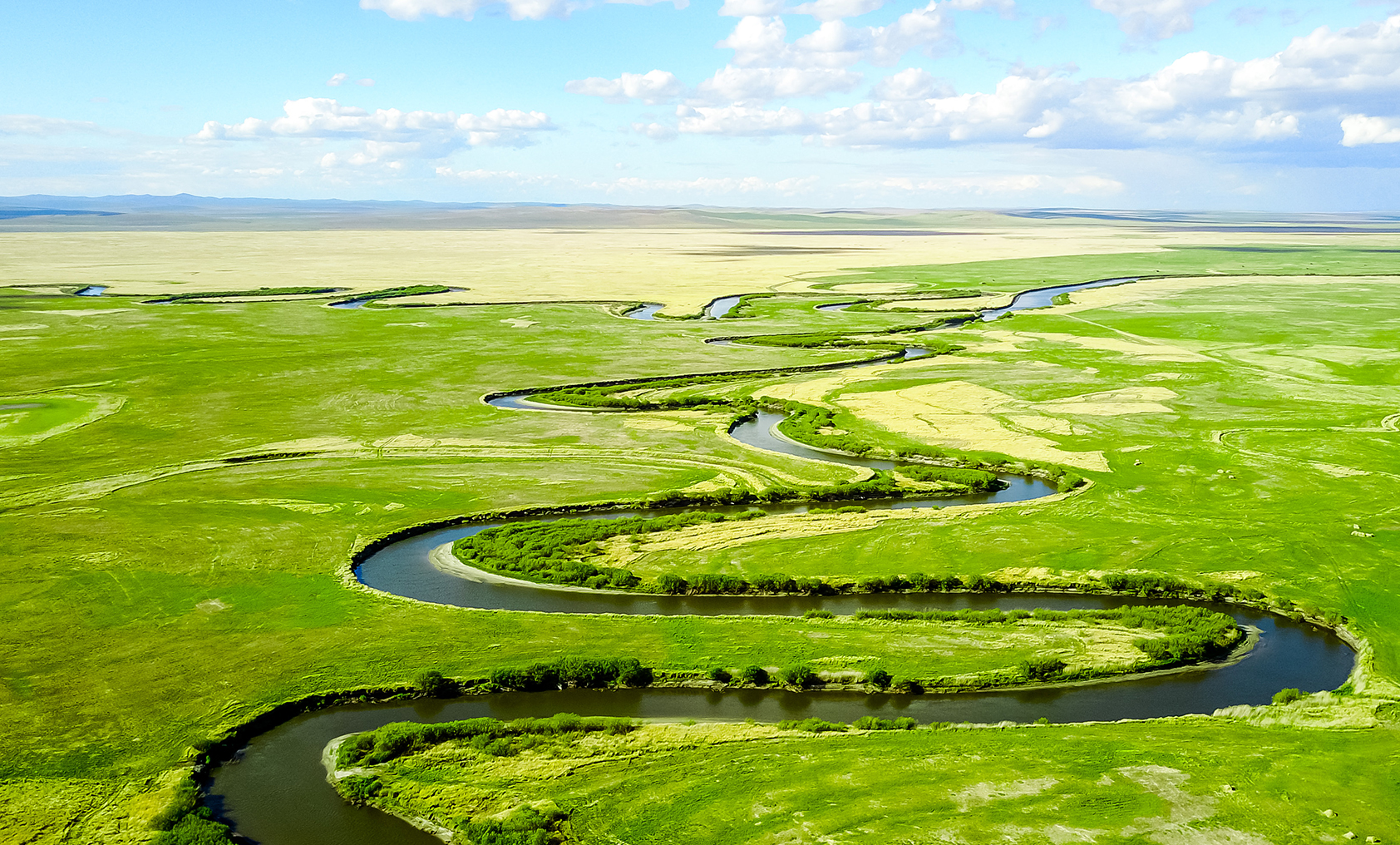
The platform enables real-time, dynamic processing of remote sensing imagery directly on the digital globe for targeted monitoring tasks. By integrating retrieval algorithms and AI models, it supports daily ecological observation and emergency response with immediate data publishing, management, and application—quickly capturing ecological shifts and human-driven changes to protect the planet and biodiversity.
- Dynamic Processing Data is processed on demand based on operational targets—automatically published without tiling or repetitive preprocessing. Get the exact data products you need, when you need them.
- High-Frequency Updates Data production, publishing, analysis, and visualization refreshed every 15 minutes.
- Automated Publishing End-to-end automation includes precise access to raw data, preprocessing, customizable visualization, and model parameter calculation—all leading to one-click publishing of final outputs.
- Integrated Compute Framework Automated data ingestion, real-time integration with algorithm libraries, seamless embedding into business workflows, and automated anomaly alerts—all within a unified operational environment.
More Similar Industry Scenarios:
Remote Sensing Data Platform | Remote Sensing Application Platform | Weather Watch Platform | Disaster Alert

Remote sensing supports critical disaster phases—from early warning and rescue to damage assessment—by monitoring landslides, rainfall, water levels, and population impacts. Our platform enables instant access, analysis, and visualization of the latest and historical satellite imagery to meet urgent response needs.
- Emergency Services Multi-temporal data retrieval and full-resolution 2D/3D service publishing for emergency areas within 1 minute.
- Rapid Processing One-click correction and publishing of ~1GB satellite/drone imagery within 60 seconds.
- High-Frequency Updates Data production, publishing, analysis, and visualization refreshed every 15 minutes.
- Real-Time Analysis Live fusion of scientific algorithms for intelligent interpretation and instant result publishing.
- Multi-Platform Deployment Real-time integration across mobile, desktop, and large screens with cross-department collaboration.
More Similar Industry Scenarios:
Remote Sensing Data Platform | Remote Sensing Application Platform | Weather Watch Platform | Disaster Alert
Ready to Get Started?
Our solution consultant will contact you within 1 business day
Or call our service hotline
+86 512 6726 6068 / +86 181 3696 0617