Key Advantages
Smart Pipeline Operations: Unified Air-Space Monitoring & Safety
-

Centimeter-Level Drone Imagery
Rapid Risk Detection & Resolution
Our precisely planned drone routes enable comprehensive pipeline inspections with real-time image correction, HD sharing, and multi-temporal analysis, enabling the timely identification of anomalies and elimination of risks.
-

Unified Air-Space-Ground 2D/3D Map
Clear 3D Pipeline Overview
Integrating drone imagery, pipeline maps, and operational data into a single 2D/3D visualization enables multi-department closed-loop management and significantly improves inspection efficiency.
-

AI Change Detection & Anomaly Alerts
Compliant & Accurate Models
Data Easy's self-developed AI models achieve 90%+ accuracy in identifying ground changes near pipelines. These compliant systems promptly flag risks to maintain pipeline safety.
-

Emergency Response Mapping
Live Pipeline Weather & Subsidence Monitoring
Continuously monitors geological hazards and ground subsidence near pipelines while providing instant access to emergency resource maps. Extends into a full emergency management and command platform.
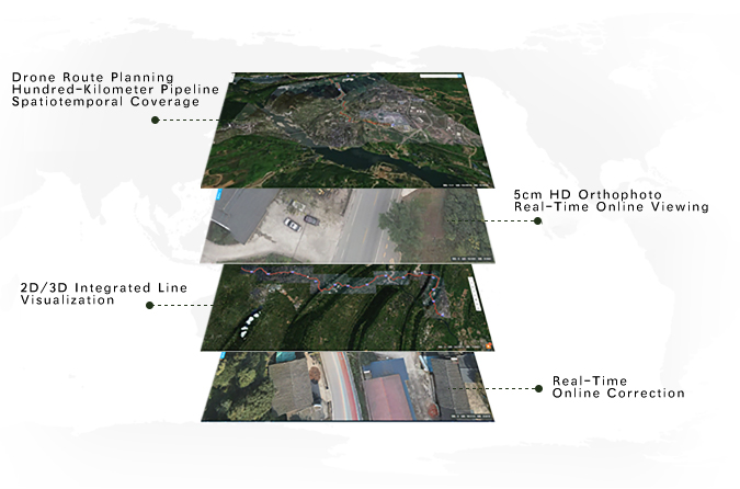
Pipeline Map 360°
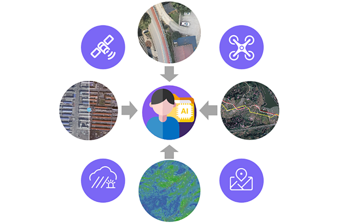
This integrated platform brings together drone, satellite, map, IoT, camera, and operational data into a unified spatiotemporal system. Delivering comprehensive coverage of pipelines extending hundreds of kilometers, it provides detailed 2D/3D visibility into hard-to-access areas—enabling both macro-level oversight and precise operational management.
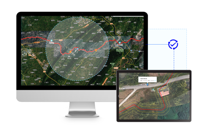
Pipeline Safety Loop
Unified Operations Map
A single map consolidates pipeline routes, location data, risk points and multi-dimensional operational information. It highlights critical risk zones and embeds a workflow system for anomaly response — connecting early warning, repair, and verification into a closed-loop safety process.
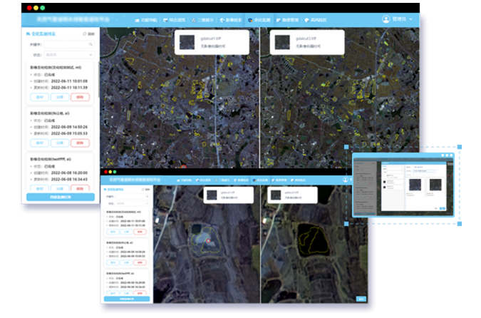
AI Change Detection: Efficient Pipeline Risk Identification
Data Easy's self-developed AI analyzes multi-temporal imagery to identify both human and natural risks along pipelines—even in complex environments like deserts. This enables precise localization and prompt resolution, enhancing operational efficiency and safety performance.
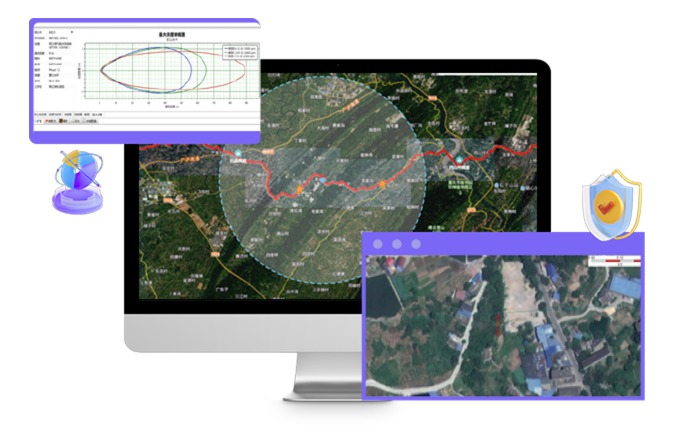
Geohazard & Emergency Response Map
Unified Platform for Dynamic Monitoring & Emergency Support
-
Hazard Warning Map
Monitors terrain changes, landslides, and heavy rainfall in real time, delivering early alerts to identify pipeline risks for proactive maintenance and prevention. -
Emergency Support Map
Restores incident scenarios, automatically assesses risk levels, and maps nearby response resources—enabling data-driven decisions and optimal deployment strategies.
Multi-Source Spatial Data Fusion: Energizing Digital Platform Evolution
- Precision drone route planning and near-real-time image publishing & sharing
- 5cm HD drone imagery with online processing, geometric correction, and multi-temporal comparison
- Unified platform integrating drone/satellite/map data with automated processing, enabling real-time data sharing and full spatiotemporal pipeline awareness
Ready to Get Started?
Our solution consultant will contact you within 1 business day
Or call our service hotline
+86 512 6726 6068 / +86 181 3696 0617