Key Advantages
Enterprise Disaster Risk Shield: Your Digital Defense System
-

High-Precision Disaster Alerts
Globally Gridded Weather Warnings
Moving beyond traditional county-level forecasts, our solution leverages 1-km resolution grids and advanced WRF modeling, enhanced by Data Easy's self-developed regional algorithms for significantly refined accuracy.
-

Multi-Hazard Auto-Monitoring
Typhoon, Extreme Weather & Ground Settlement Tracking
Integrating GFS, HFS, WRF, XZ, national forecasts, and Doppler radar, the system unifies operational and spatial data with automated processing pipelines to monitor multiple hazards in real time.
-

Minute-Level Mass Alerting
High-Stability, High-Concurrency Architecture
Data Easy's spatiotemporal grid indexing technology supports minute-level risk notifications for 10 million+ operations across China, ensuring reliable performance during peak disaster events and aligning with organizational data standards.
-

Elastic Service Scaling
Hourly Updates for Millions of Operations & Billions of Grids
Processes 10 million+ business records and 10 billion+ weather grid points hourly. Uses only 1/10 the hardware resources of traditional solutions while enabling seamless scaling for rapid growth.
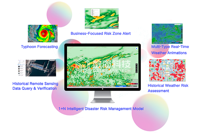
Custom Disaster Monitoring: Total Insight on a Single Screen
- Delivers professional weather models and gridded data with global coverage at 1-25 km resolution, serving diverse risk management needs across insurance, finance, agriculture, and emergency response
- Enables visual overlay of millions of business assets via scatter and cluster mapping, revealing clear spatial relationships between hazards and operations for precise prevention and response
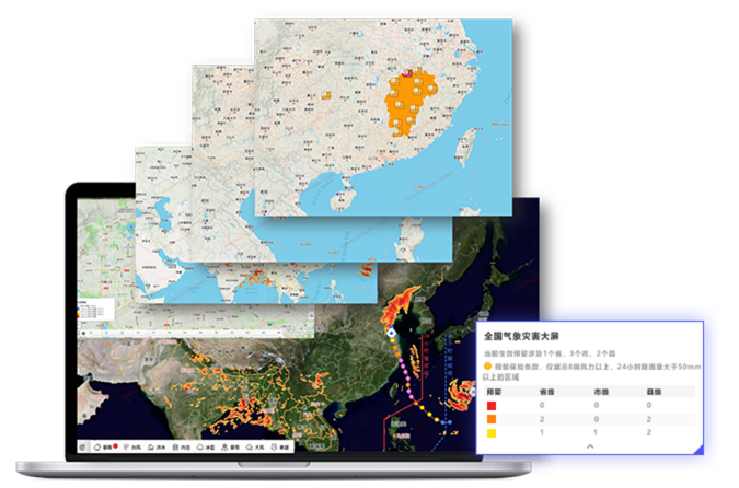
Typhoons, Storms, Land Subsidence & 10+ Live Weather Views
- Tracks 10+ meteorological elements including wind, typhoons, precipitation, temperature, and air pressure, meeting cross-sector weather needs
- Expandable support for hydrological, satellite remote sensing, Doppler radar, and basic geospatial data
- Integrates authoritative global and local meteorological disaster alerts with real-time processing and visualization
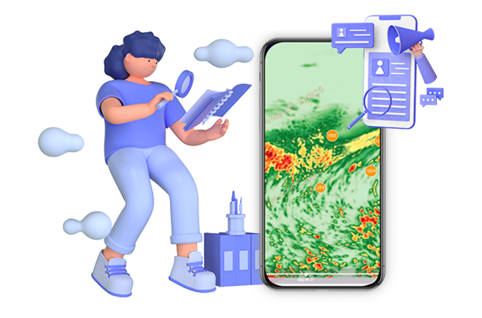
Intelligent Risk Hub: Precise, Live & Linked
- Enables cross-referencing of millions of business assets with hourly updated, hundreds of millions of grid-based weather data points for rapid high-risk target identification
- Automatically routes early-warning alerts to designated personnel in real time
- Supports multi-department collaboration with shared data resources and efficient retrieval of historical disaster data by location or administrative region
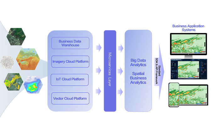
Disaster Resilience Hub: Ready to Scale
- This high-availability spatiotemporal platform delivers massive parallel computing, integrated business data management, and geospatial tools—enabling:
- Real-time visualization of millions of assets against precise weather grids
- Parallel early-warning for typhoons, storms, and geological hazards
- Scalable architecture for rapid growth and peak event resilience
Ready to Get Started?
Our solution consultant will contact you within 1 business day
Or call our service hotline
+86 512 6726 6068 / +86 181 3696 0617